Topoprojekts
Client portal Get a quote

Laser Scanning / Lidar Data Acquisition

Fast and accurate 3D environmental surveying for large areas and complex objects.

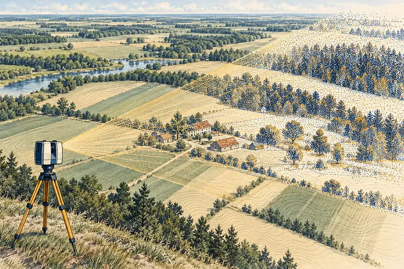
Illustration: Laser scanning (LiDAR)

Laser scanning (LIDAR) allows acquiring millions of precise points (point cloud) in a short time, creating a detailed 3D model of the environment. It is the ideal solution for measuring complex industrial objects, facades, bridges, road infrastructure, and large territories where traditional methods would be slow or inaccurate.

Who needs it

  • High precision (up to mm)
  • Huge data density acquisition
  • Building facade and interior scanning (BIM)
  • Quarry and terrain surveying

How the work runs

  1. ScanningData acquisition with a 3D laser scanner.
  2. RegistrationMerging individual scans into a single point cloud.
  3. ProcessingNoise cleaning, classification, and modeling.

What you receive

Classified point cloud (.las, .rcp) or 3D model (.rvt, .ifc).

Get a quote

Tell us about the site — we prepare a quote within 1 business day. The first consultation is free.

What work do you need?
Where is the site?

For example: Dzērves iela 4, Saldus or cadastre number 84010010123

Any documents that would help?

A land register certificate, boundary plan, earlier surveys, drawings or photos — add them if you have them. You can also do it later.

You can also send documents to info@topoprojekts.lv — include your name and the site address.

When do you need it?

If there is a fixed date, such as a building permit or a sale deadline, enter it.

How do we reach you?
Customer

Contact

SIA "Topoprojekts"

  • LiepājaZirņu iela 7, LV-3401Map
  • SaldusPalejas iela 9, LV-3801Map

Office hours: Monday–Friday 9:00–17:00

+371 634 83194
info@topoprojekts.lv

We reply within 1 business day.